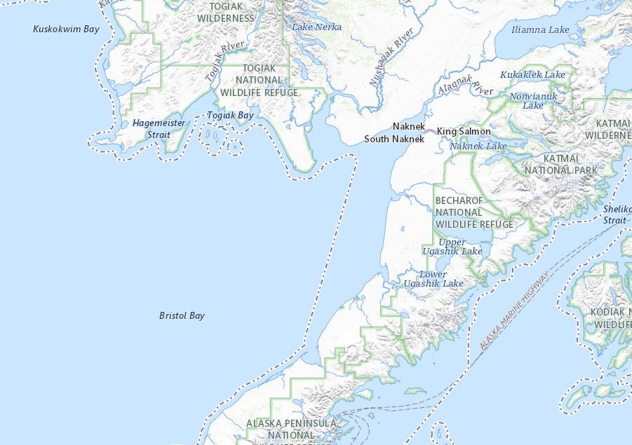
Geospatial tools and education can provide communities, tribes, and individuals with opportunities to monitor environmental variables, establish baseline understandings of environments, predict future changes, and develop plans for climate change adaptation and mitigation. This class explores broad geospatial concepts that can be applied globally by focusing on issues directly related to climate and environmental change in rural Alaskan communities and is rooted in regional place-based knowledge. Students will learn to collect field and online information, analyze data and create maps in ArcGIS Pro and ArcGIS Online, and communicate findings through geospatial tools.


